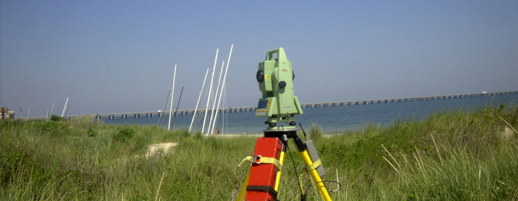
Waterway utilizes Sokkia Total Stations with SDR33 Electronic Field Books and MAP software for processing field data in regards to land surveying projects. In addition, Waterway has total differential global positioning capability using Leica GPS equipment to provide accurate topographic surveys, control surveys, and precise monitoring of positions and movement. This equipment is also used for positioning our automated hydrographic system in areas beyond the range of USCG differential beacons.
Conventional Equipment
- Wild TC 500 Total Station
- (3) Sokkia SR30s Total Station w/Accessories
- Spectra Physics Rotating Laser Level
- (5) Automatic Levels
- Wild DI3000 EDM
- (12) Portable 2-Way Radios w/chargers
- RTK Leica GS14 GPS/Glonass
- Leica TS16P 1” R500 Robotic Total Station w/ Carlson Survey software